|
|
|
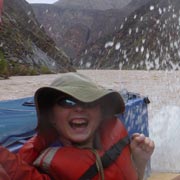
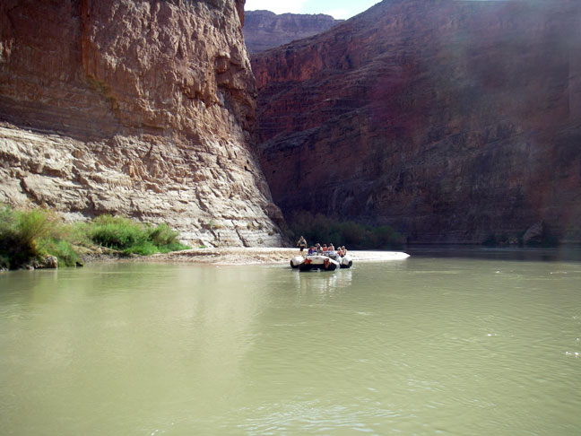
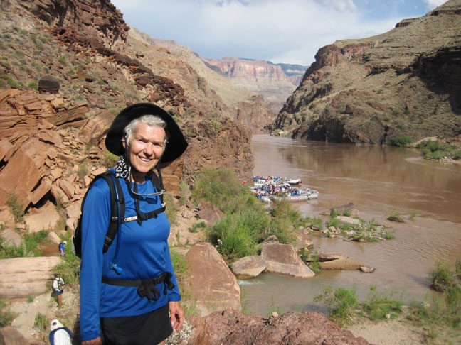
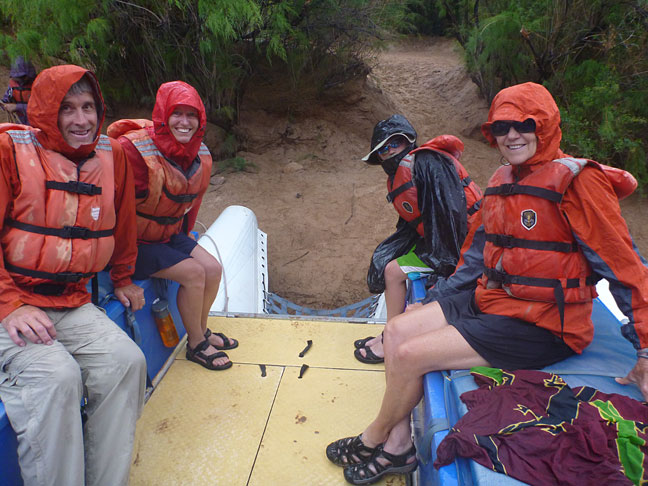
We finally realized
Yvonne’s long dream of rafting the Grand Canyon. We did this with our niece
Shawna, her husband Mark and 11-year old son Dan. The picture below shows us
(with the tour leader between Juergen and Yvonne) …..Some of the photos were
taken by Mark and Shawna. |
|
|
|
|
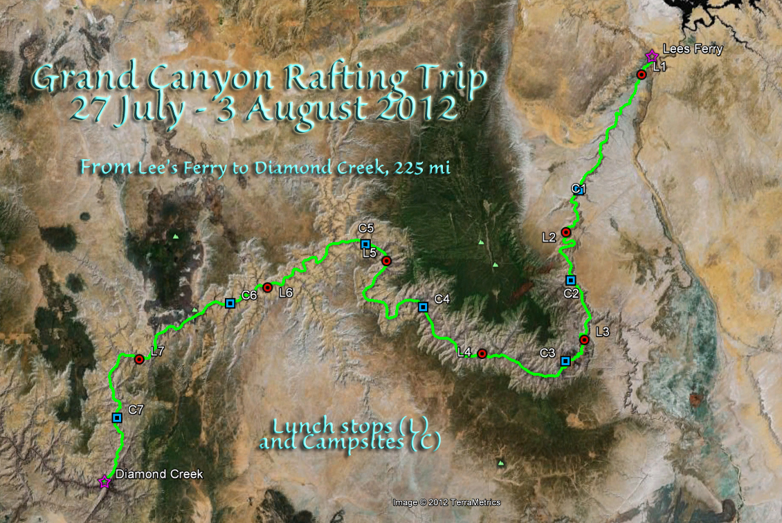
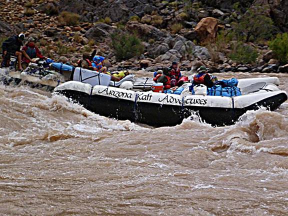
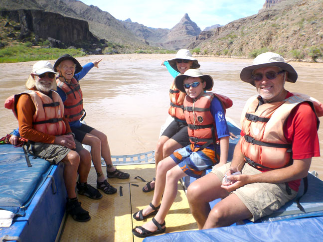
We took an 8-day
full-canyon motorized raft trip with Arizona Raft Adventures “Grand Canyon Discovery” We rafted about 225
miles in a group of 19 people and 4 guides on two rafts. Mark made a short movie of our companion raft going through the Hermit rapid
(rated class 7-8, drop 15 ft; at mile 95) (be patient, it takes a few seconds
to download the movie depending on your connection speed). It sets the mood for
the website. |
|
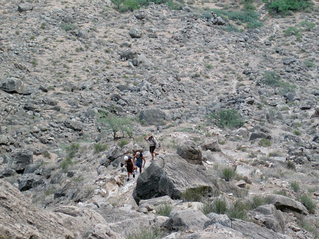
Hiking to experience
the area away from the river is a big part of rafting the canyon. Here Juergen and
Yvonne are climbing up the steep trail to the Nankoweap Granary where the
early pueblo people stored their crops. They may have farmed here in early
spring before moving to the North Rim in summer. Due to climate changes
related to the Little Ice Age all inner canyon settlements ended by the
mid-12th century. |
|
|
|
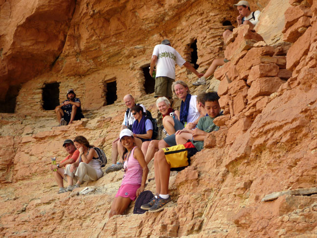
The Nankoweap
Granary. |
|
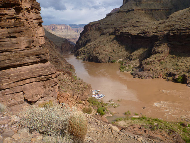
The view to the
river from the Granary is very nice. Our camp for the
night was Lower Nankoweap at mile 53 (measured from Lee’s Ferry) and is shown
as the “bulge” on the right side just before the little “island.” |
|
|
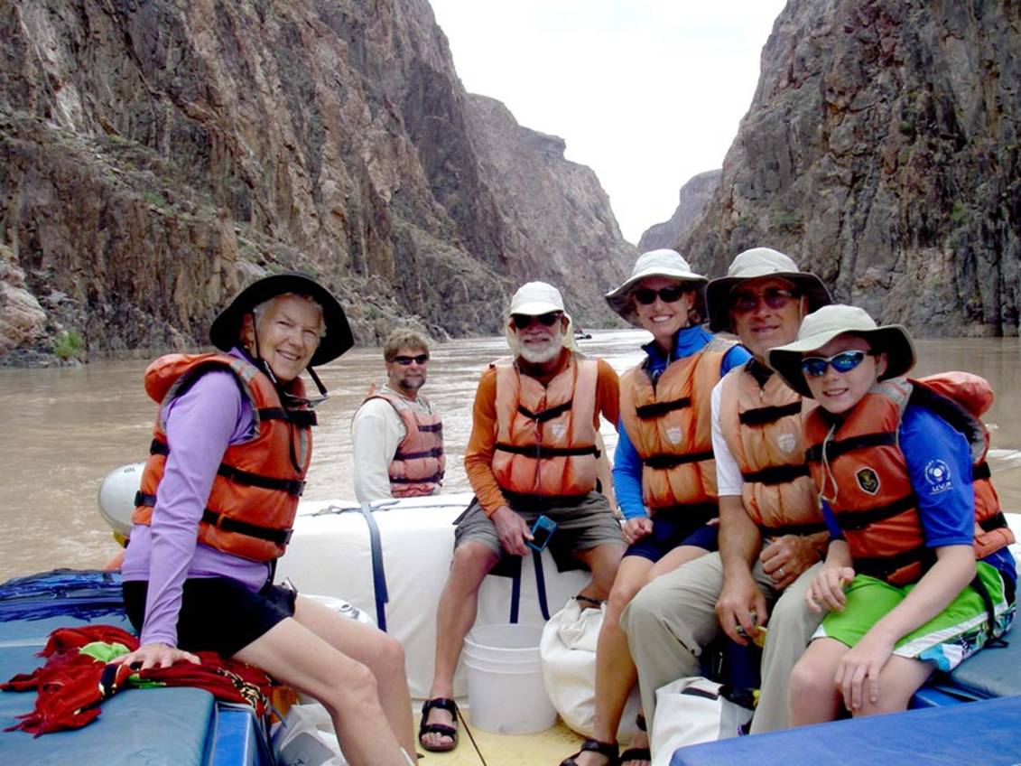
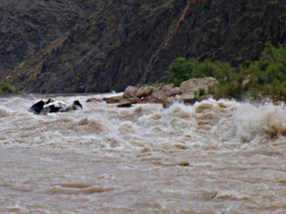
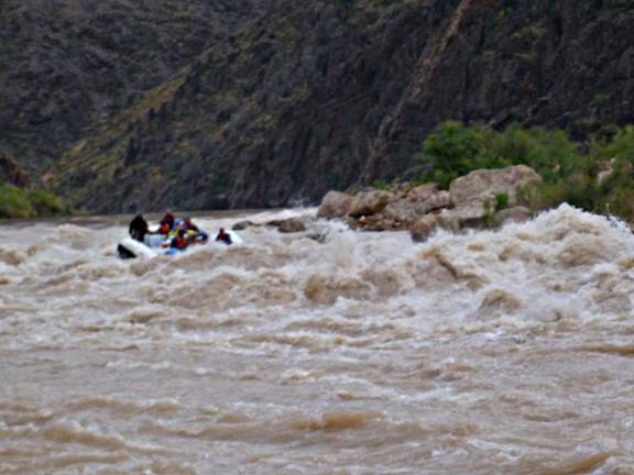
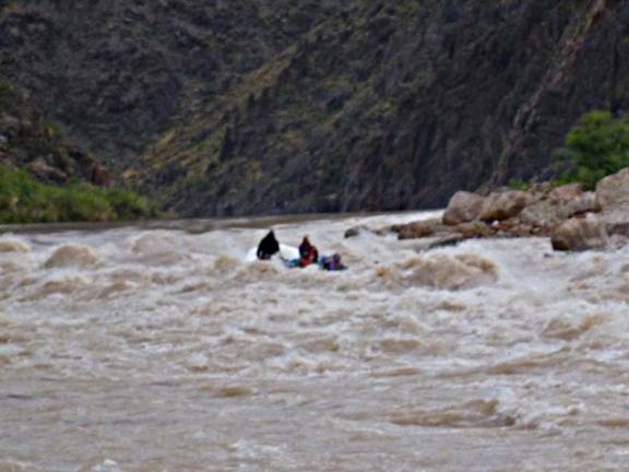
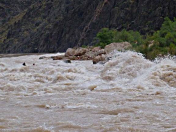
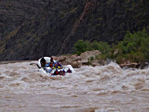
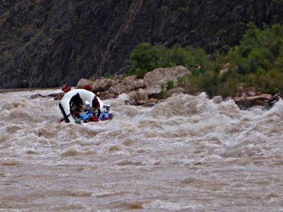
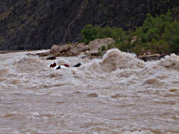
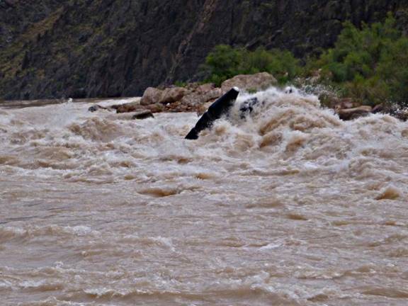
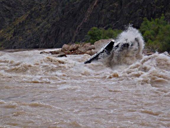
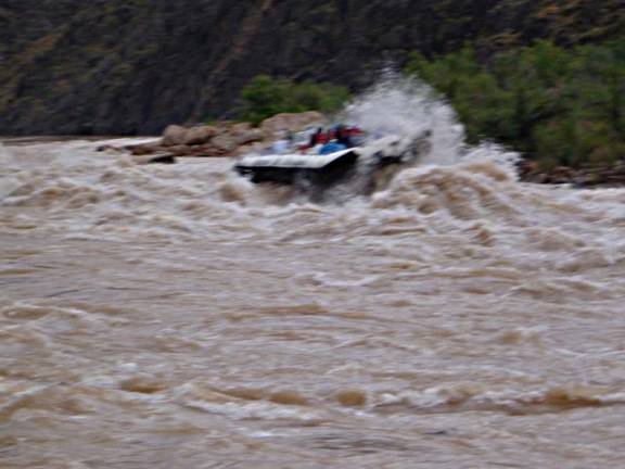
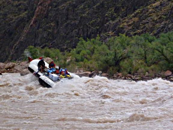
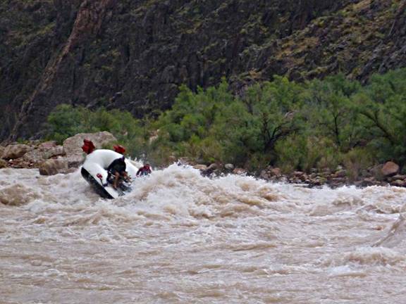
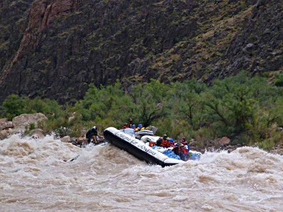
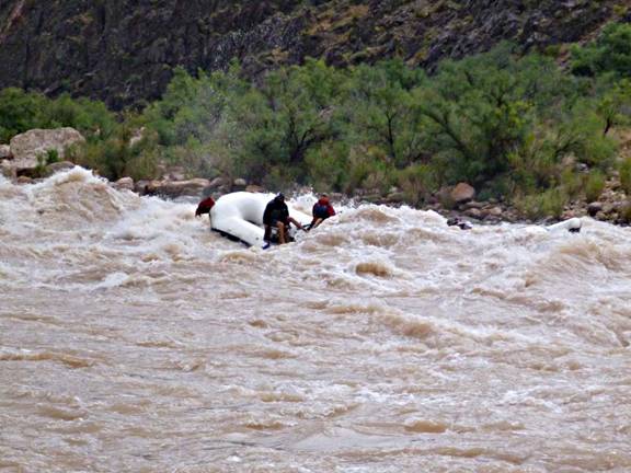
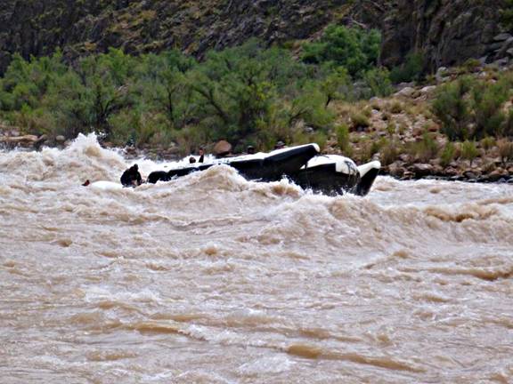
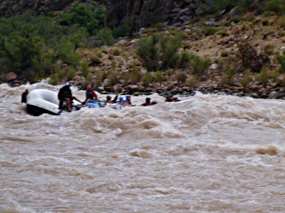
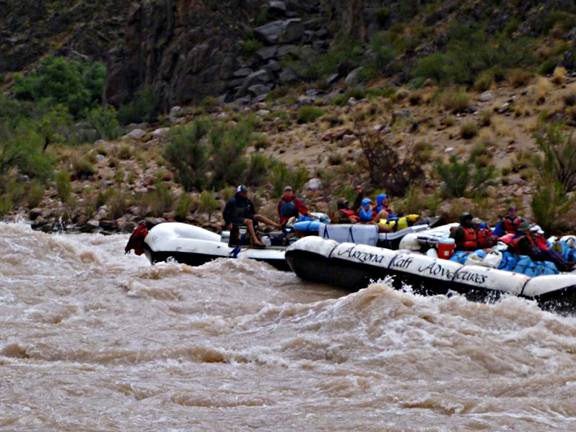
For a few of the
most lively rapids we watched the other raft go through, either from above or
from a quiet eddy below the rapid if we had gone through first. Below is a sequence
of shots taken of the “other” raft with the camera in “burst” mode. It is one long-lasting rapid, we think it was
Crystal (mile 99) rated class 7-10 with a drop of 17 ft. It’s hard for photos
to capture the “glee” felt during this experience! Even watching it because
everyone is screaming. |
|
|
|
|
|
|
|
|
|
|
|
|
|
|
|
|
|
|
|
|
|
|
|
|
|
|
|
|
|
|
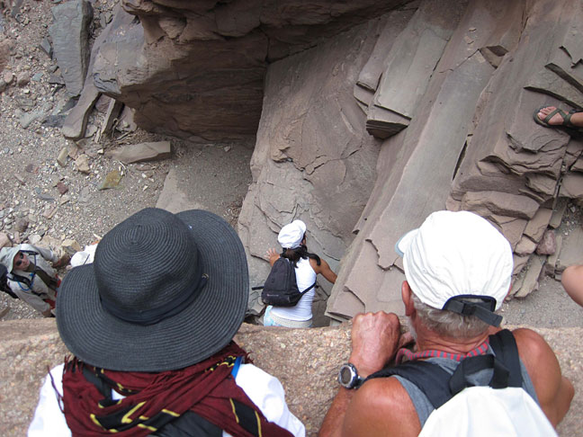
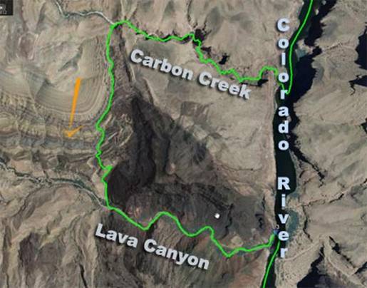
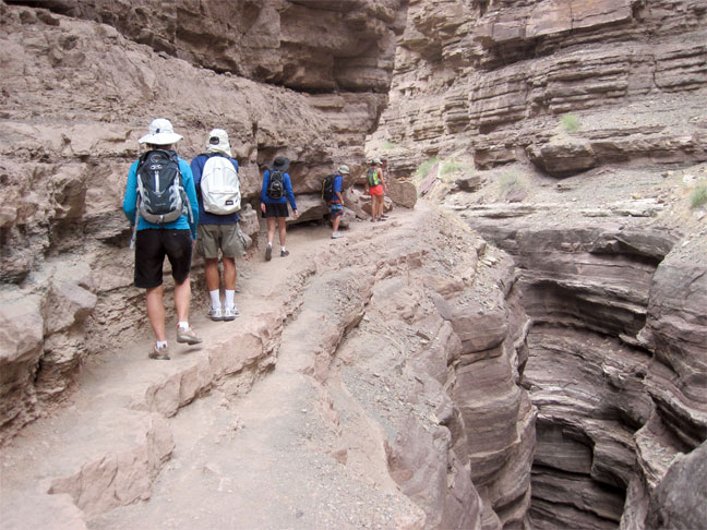
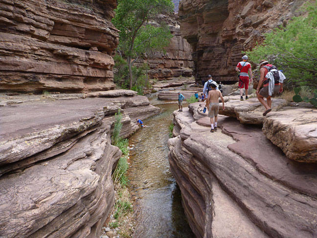
We hiked up Carbon
Creek wash and down Lava Canyon. Two guides walked
with us, the other two moved a raft then walked in the other direction to
meet us – in case someone didn’t want to finish the hike! Everyone did. This shows us
looking down into the “entry” to the wash – some rock scrambling was
necessary to get up these ledges before entering the canyon. Note the person
at bottom left. This was about mile
65. |
|
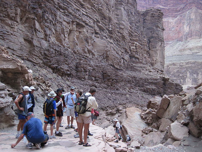
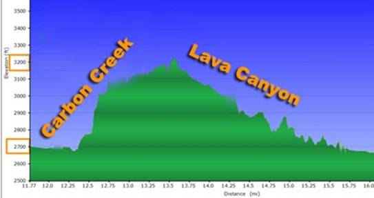
This is the top of
the steepest part of the hike. We’d come up the canyon behind and below the
rocks on the right. Below are our track
in Google Earth and the height profile of the hike. From the 2700 ft river level
we hiked up to 3200 ft and down again. |
|
|
|
|
|
|
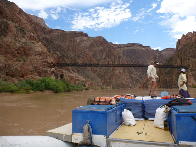
We stopped in
Phantom Ranch to replenish our water. In 1983 we hiked down Kaibab Trail from
the South Rim and spent the night here. We climbed up the Bright Angel trail
the next morning. There are mules
crossing the bridge in this photo bringing people to Phantom Ranch. |
|
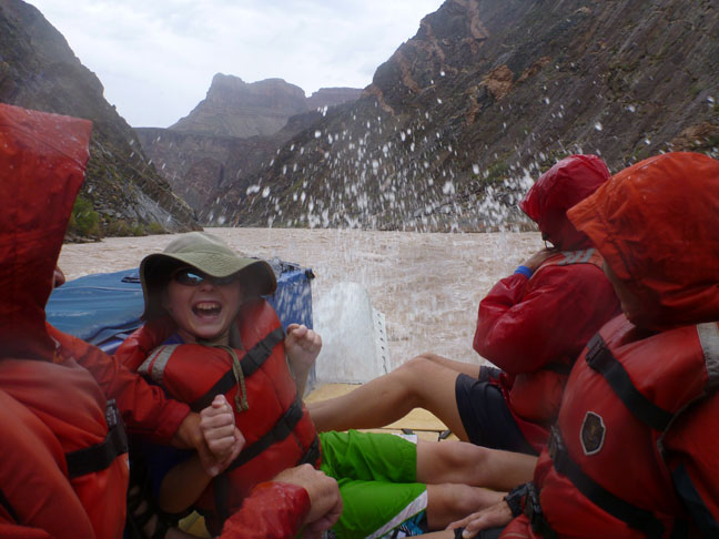
The water
temperature was about 50 degrees for much of the trip – slowly warming up a
bit as the river dropped in elevation. It was quite a shock
to be swacked – or sprayed – with this cold water,
all the while bobbing and weaving on the raft. |
|
|
|
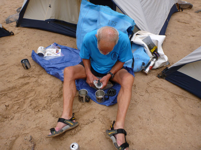
We were allowed to
bring wine – as long as it wasn’t in bottles. Here wine is being
poured from the bladder from boxed wine (the box had disintegrated). |
|
Our campsites
varied. We usually had some room around our tents. |
|
|
|
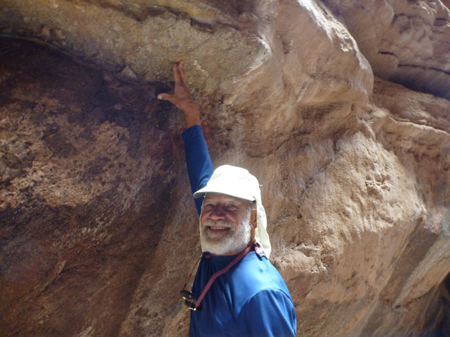
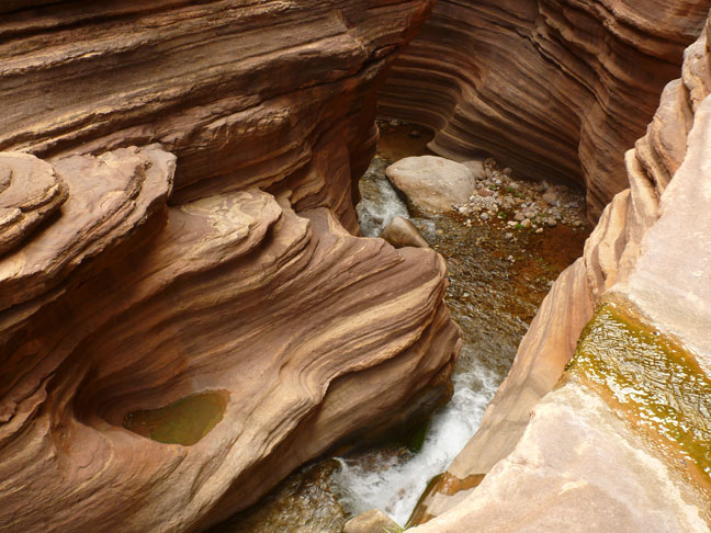
About mile 121, In Blacktail Canyon, is the “Great Unconformity” that shows a
billion year gap in geologic history. It’s between Juergen’s thumb and fingers. This unconformity
was caused by erosion removing layers of rock, and then an ancient sea
inundating the eroded surface, depositing new layers. |
|
Blacktail Canyon. |
|
|
|
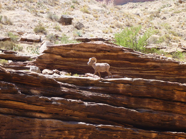
Desert
Bighorn are seen more now that their major food competitor, the wild burros, have
been removed from the canyon. |
|
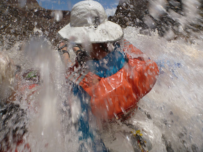
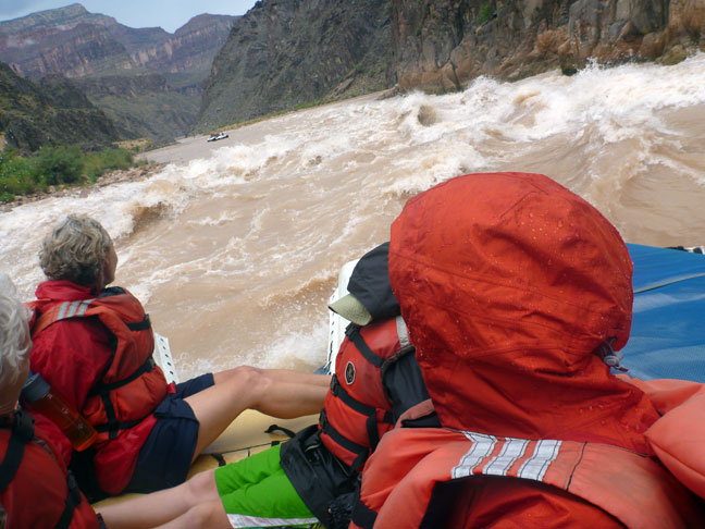
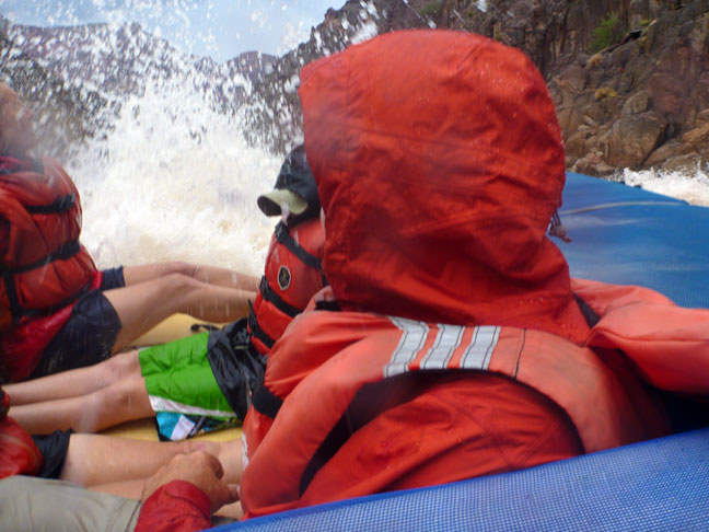
Photos are very
difficult to get that give the “feel” of running rapids. This one and the
next come close. This water was cold. Our temperature
forecasts for the week were to be over 100 degrees each day. Instead,
monsoonal weather came and mostly stayed, so our days were overcast and we
had a couple of wild downpours – when we were in our tents, fortunately. |
|
|
|
|
|
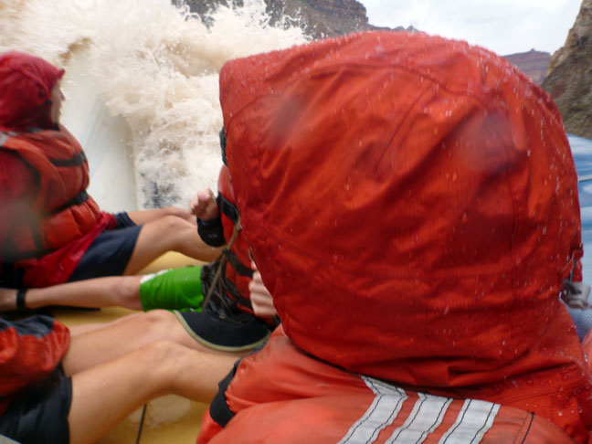
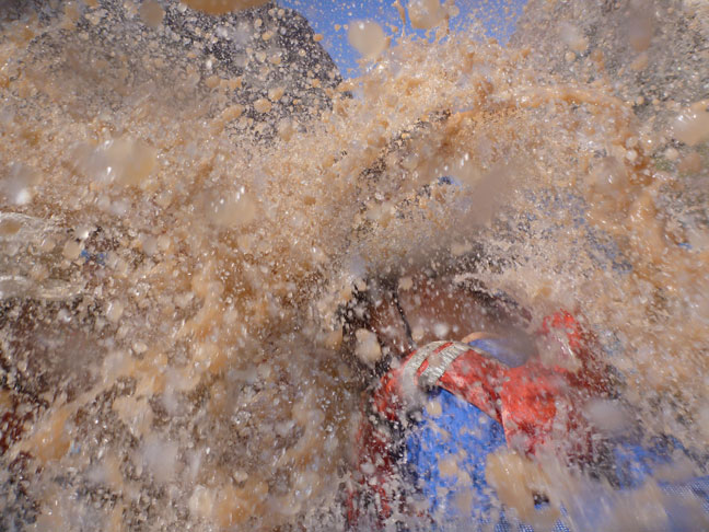
…The “splash” photos
are not necessarily in order. |
|
|
|
|
|
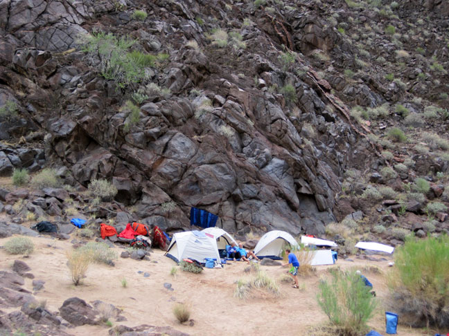
On this afternoon,
all of the good campsites were taken. On that little bit of sand we put up
our camp for 23 people! Tents were spaced enough that we didn’t hear the next
tent, so it was ok. There were about 10
tents. |
|
|
|
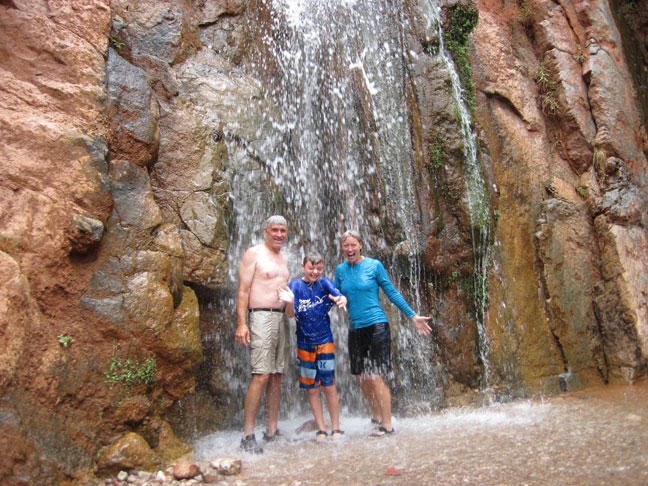
The Tapeats Creek waterfall is almost at river level. |
|
Hiking into Upper
Deer Creek. Left to right, Shawna, Juergen, Yvonne, Dan. |
|
|
|
|
|
|
|
|
|
|
|
|
|
|
|
|
|
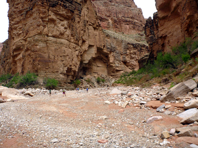
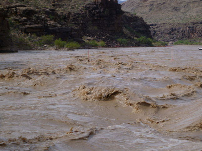
At mile 167, we were
told that National Canyon used to have 3 lovely green campgrounds. Just two weeks
before our trip, a powerful flashflood tore up the canyon and replaced the
campsites with this rubble. The flow of this
flashflood was as strong as the flow of the Colorado River. This had the effect of
making the water extremely muddy from this point on. |
|
|
|
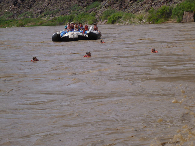
We all had a couple
of opportunities to go through a rapid with only a life vest. In the red box
Juergen, Shawna, Mark and Dan are almost through. |
|
Dan, Mark and Juergen; Shawna nearest the raft. |
|
|
|
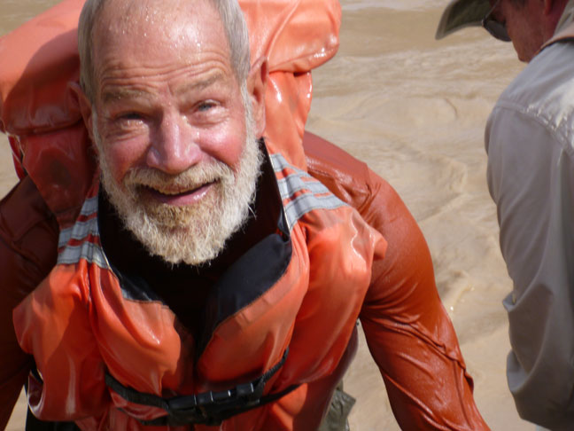
Juergen climbing
back into the raft after his cold raft-less rapids ride. |
|
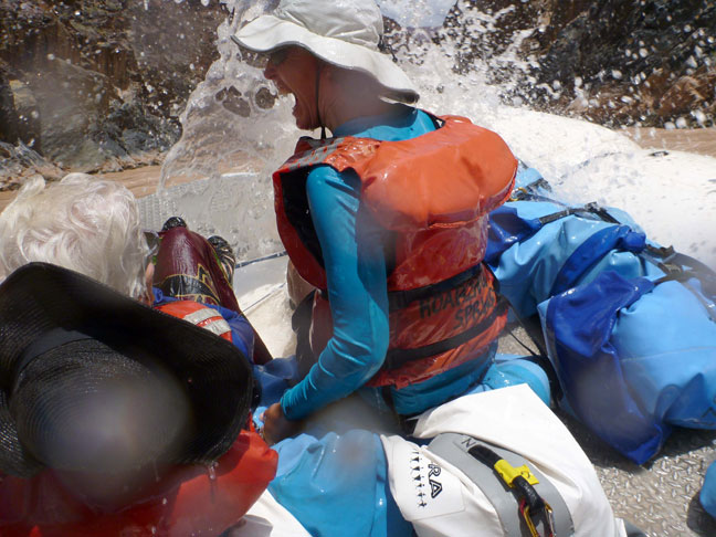
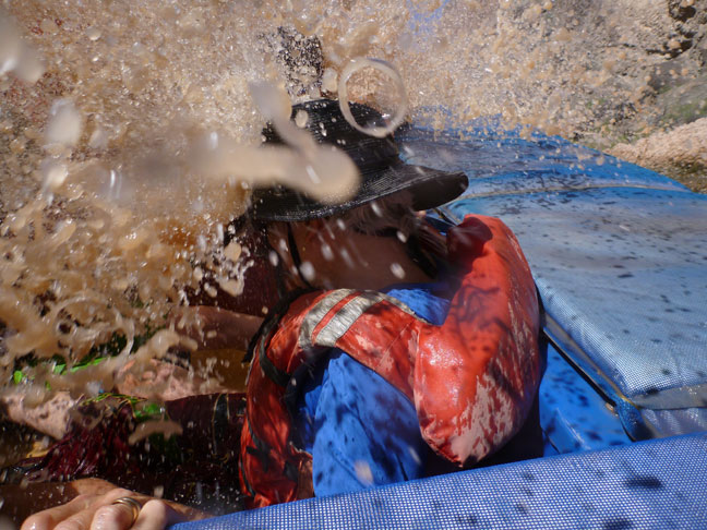
Random shots of rapids
and splashes… |
|
|
|
|
|
|
|
|
|
It was really
something when the waves broke on us! |
|
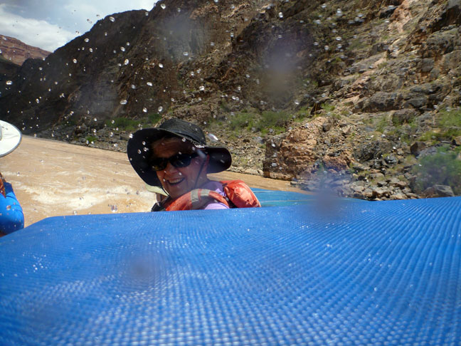
Pulling into a campsite
after a cold (but very fun) afternoon of being splashed. |
|
|
|
We started at Lee’s Ferry
and ended at Diamond Peak. Yvonne is pointing
at Diamond Peak...so the trip was nearly over. |
|
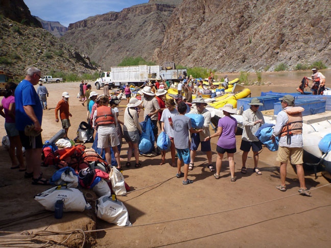
We had bucket
brigades night and morning to load and unload our gear. This is the last time
our stuff came off the rafts. |
|
|
|
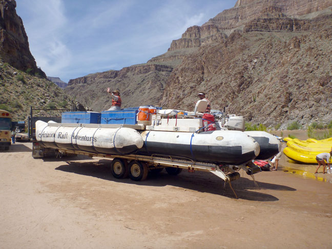
It only took a few
minutes before the guides had loaded the rafts onto trailers. So it was bye bye raft! |
|
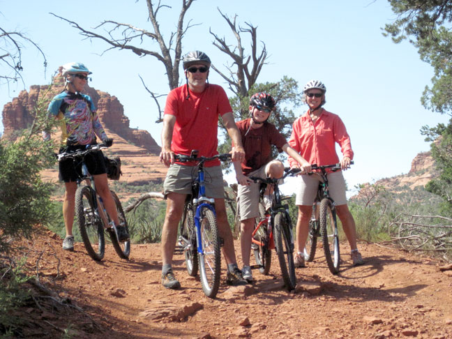
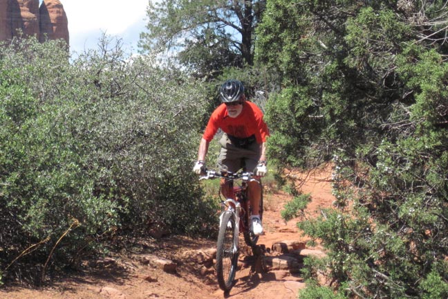
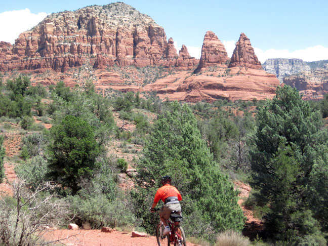
After the raft trip
we all went to Sedona, Arizona for a couple days of mountain biking (and
hiking for the Duncans). Bell Rock is behind
Yvonne. We had all brought
bikes with us from home. In the picture (from
left): Yvonne Mark, Dan, Shawna |
|
|
|
|
|
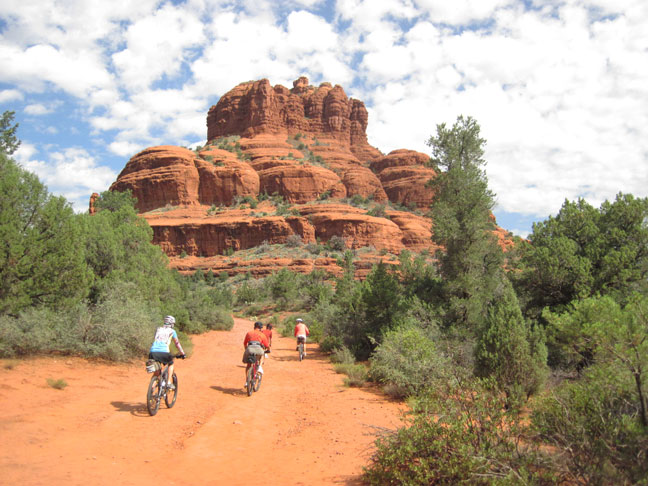
A better picture of
Bell rock. |
|
|
|
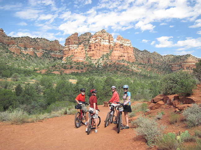
Juergen, Dan,
Shawna, Yvonne |
|
Chicken Point rock. |
|
|
|
|